We went for a hike a couple of weekends ago. The weather was perfect, sunny yet cool. We picked the perfect trail for the last great day of 2005 – the Al Foster trail which is actually cooperative endeavor with the city of Wildwood, the Department of Natural Resources, St. Louis County Parks, the Meramec River Recreation Association and The Great Rivers Greenway District. The end in Glencoe intertwines with the Wabash, Frisco and Pacific Railroad which is a miniature steam railroad that runs every Sunday afternoon May through October. The trial follows an abandoned railroad line along the Meramec river and thus is blessed with two great attributes – it’s very flat, and its very scenic.
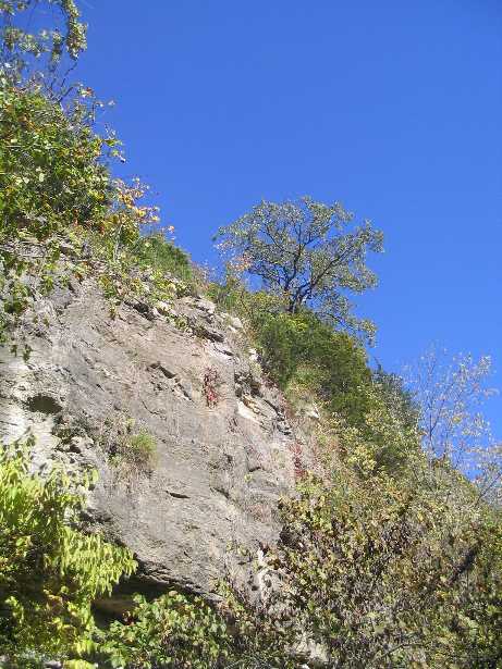
OK, as you can see from the photo, the flatness of the trail doesn’t mean the scenery is flat.
Continue reading and viewing even more photos.
The sky was a gorgeous blue, the shade of blue it gets when the humidity is low, a shade you don’t see too often in warm weather around here. The leaves hadn’t started turning color yet. We were enveloped in green as we walked along, the miniature railroad to one side, the Meramec on the other. The trees arched overhead so that you walked in a tunnel.
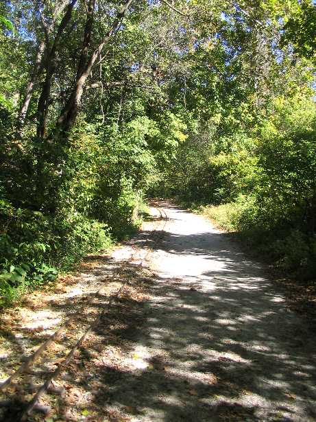
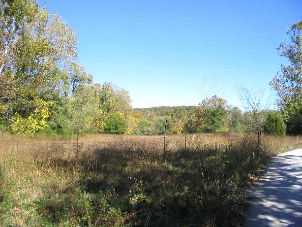
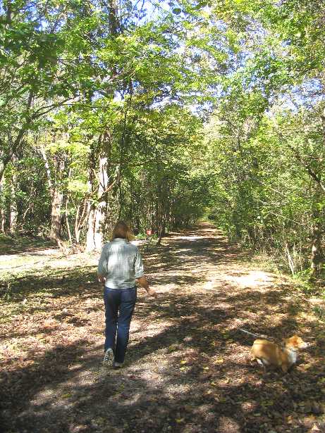
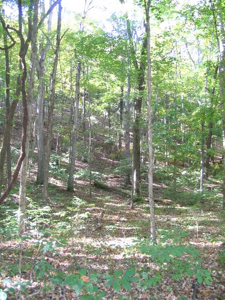
Despite the name, or perhaps because it was daylight, we came across no zombies. Just more scenery, this time a forested valley.
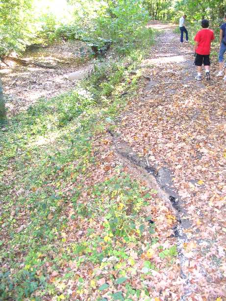
So I took advantage of tools not available even a year ago, and so you can check out a map and satellite view of the road. Way cool. But the point is to notice how the road, which starts out on the map as Lawler Ford, and then changes to Quail Hollow Estates, is just a line on the satellite map, unlike the other roads, and has no houses along it, also unlike the other roads. I don’t know when it was abandoned and closed off, but we hiked up to the point where we made another discovery: The end of the road. Two giant discoveries in one afternoon! It seems that sime time in the past the creek eroded the road, and must have washed out the bridge that used to cross it, leaving nothing behind but a concrete wall in the middle of the creek. Ok, we went a little past that point, but since it was obvious that we had long left the trail we wanted to be on, and had no idea where the creek led, we turned around and finished the Al Foster Trail. I leave you with a picture of the End of the Road Less Travelled. Gape in wonder.
#1 by John Bruns on September 6, 2013 - 2:19 pm
Quote
Lawler Ford rd/Zombie Rd is now the Rock Hollow trail.
Interesting to note…it has THIRTEEN bridges
#2 by John Bruns on September 6, 2013 - 2:19 pm
Quote
http://www.greatriversgreenway.org/trails/rock-hollow-trail.aspx
#3 by Glencoe boy on February 17, 2019 - 12:14 am
Quote
Lawler Ford road wwas stop being used in the early 1970s. A Gate was put up in Glencoe by the bluff to keep out of the old Gravel Plant (missouri Aggregates). Which closed Operation in a 1971. I know because my family worked there. Lawler Ford started out being a Road that went to the River. Any road that has the word “Ford” in it,leads to a river. The Pacific Railroad went thru there in 1852(big railroad) later called Missouri-Pacific, now called Union Pacific. It went thru Sherman, Glencoe, then Eureka, etc. One Track split off at Glencoe, and went along Washington Ave along Hwy 109, to Rockwoods, to the Lime Kilns, for Lumber and Limestone.
The Gravel Plant between Glencoe and Sherman, where the sucken tugboat is, was originally Yeatman Quarry. It hauled the rock out of the river and sand, and the rock was crushed, and both were hauled out on Railcars and Dump Trucks up Lawler Ford Rd, because the Trains went thru then. In 1960,some of the tracks were removed so the Dump Trucks could drive thru Glencoe. The remaining Tracks were removed in 1976 all the way to Sherman at the Main Line.