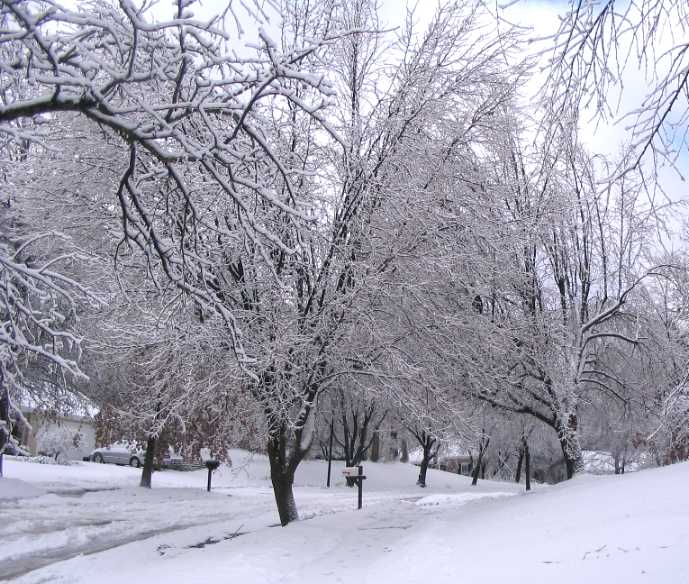
This summer my son and I went to the Boundary Waters of northern Minnesota and spent a week on a Boy Scout high adventure at Northern Tier. We’d been planning this trip for two years and spent months preparing with twice a week hikes. We started out just hiking, then we added packs with weights, then we kept increasing the weight, and then we started portaging a canoe too. How I miss those days now!
With less than two weeks to go I broke two toes on a Sunday morning as I was carrying my gear down the stairs for summer camp. I discussed with the doctor my plans – summer camp, and then canoeing and portaging 11 days after I broke them. The doctor considered and said that broken toes were a nuisance and that it was a matter of how much pain I could stand. So I went, but I took a baggie full of Ibuprofen.
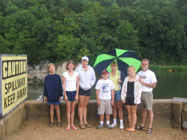
We rented two 15 passenger vans, stuffed them with gear and 22 people, and drove for two days in full scout uniform to get there. The road trip was boring, although when we stopped for gas and comfort we attracted attention in our uniforms. Just getting 22 people through a bathroom break was a logistical challenge – even when the adults used the women’s bathroom as well. On the way back we solved that problem in a cornfield in Iowa – all 22 of us lined up and peed in near unison.
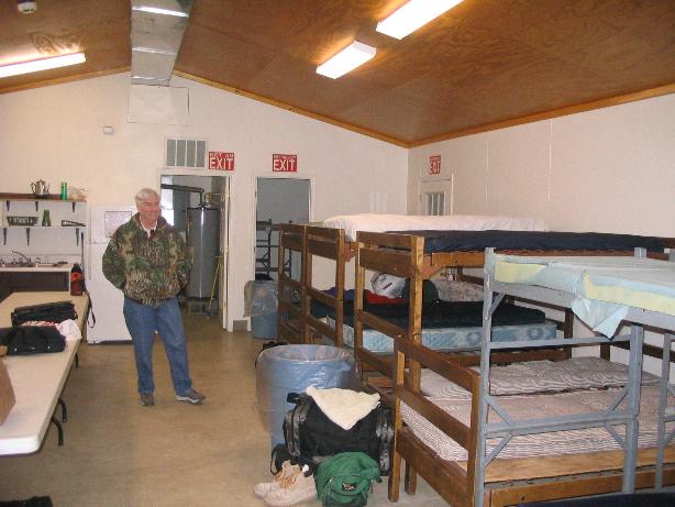
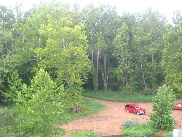
We arrived at Charles L Sommers Wilderness Base in the afternoon. Because of US Forest Service rules limiting the number of people who can travel together on a permit, we split into 3 groups. Our crew of eight was busy from then on — we had to plan our route, shake down our gear, pack our food and gear in six packs – three for the food and cookware, and three Duluth packs for our gear. I wouldn’t have been surprised if they asked us to make out our wills.
After dinner we watched a film about the Boundary Waters, and then the Base director told us what to expect, not with the exact words of Cliff Hanson, a longtime former Base Director, but similar:
“You’re going to be wet, you’re going to be cold, you’re going to have more bugs biting on you than you ever thought existed… and about the third night out, you’re going to wish your mother was along to tuck you in between clean sheets… and that goes for you advisors. too!”
Rain … check!
Cold … check!
Bugs … check!
Mother … nah, wife – double check!
WE ARE READY TO EMBARK ON OUR GREAT ADVENTURE
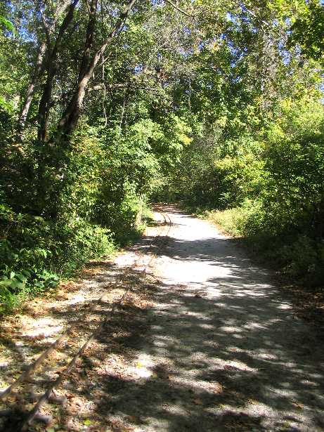
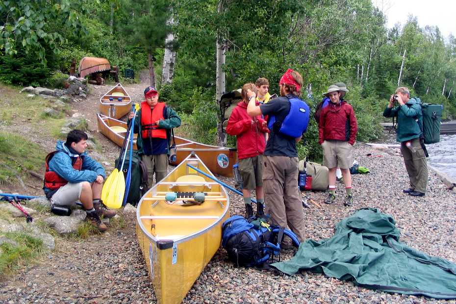
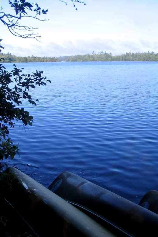
The next morning we got up early, finished our preparations, picked out our canoes, and as always spent some time waiting around. We portaged down to the shore of Moose Lake, got in line to leave, and then waited our turn to put in.
As we waited to go, I don’t know what all was going through the minds of the boys, but I was worried about two things – getting good pictures, and did I bring enough Ibuprofen?
As it turned out, those were the wrong things to worry about.
MOOSE LAKE AND THE WHOLE BOUNDARY WATERS AWAIT
The weather wasn’t auspicious, but when it’s time to leave, you get in the canoe and shove off. And then our guide remembered he’d forgotten something important, so we sat around in the canoes not far from shore waiting for him to get back. While we waited, the clouds got thicker, the wind got stronger, our mood got darker.
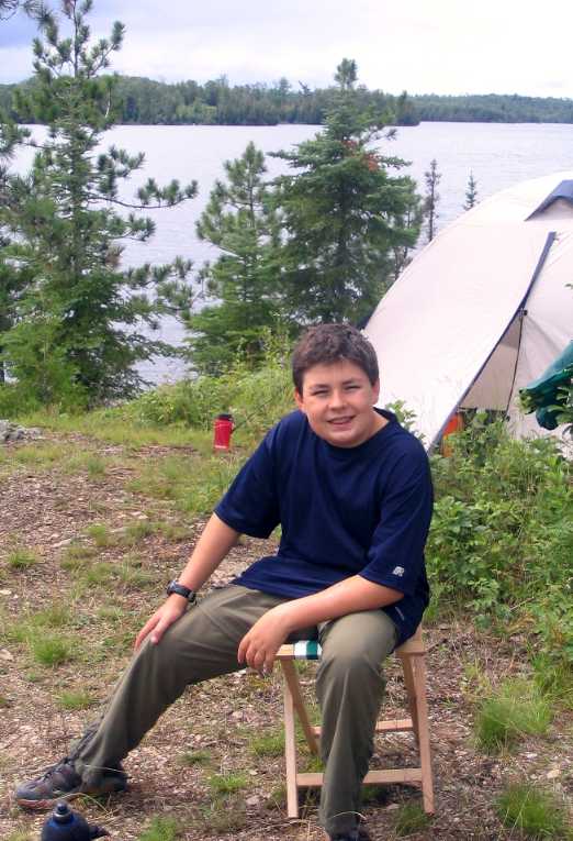
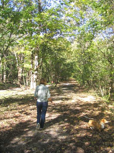
KYLE AT OUR FIRST CAMPSITE
As it happened in the scramble to get into the canoes, I, the heaviest of the adults in our crew, got in the stern of the canoe, and the lightest scout got in the bow. The strong crosswind kept turning the canoe right under my butt. It was hard work just keep the bow pointed somewhere near where we wanted to go. At lunch we changed positions to get a better weight distribution and life for me got a lot better. Eventually we got to a spot on Sucker Lake where it turns 90 degrees and the wind blowing longways down this part of the lake was creating significant waves. Our interpreter said we should take the open campsite at this spot and get going early the next morning when there would be less wind. We agreed.
Our campsite was pretty neat on top of a hill, but cramped as the top wasn’t too large. Once we got the gear out the canoes, the canoes up on dry ground, the tents pitched, the packs stowed under the tarp, and just generally settled in, the interpreter said we would take a two rod portage (portages are measured in rods, which are 16.5 feet or the length of a canoe) right next to our campsite the following morning. Huh? We got off the lake because we didn’t want to paddle a long stretch into the wind with significant waves. But we weren’t going that way tomorrow? We later figured he just wanted to stop for the day.
Kyle and I brought collapsable chairs at the recommendation of our group leader, Mike, who had gone on a family trek in the boundary waters the year before. The interpreter had advised not taking them during the gear shakedown but I figured that as long as I bought them and Mike recommended it, I’d take them. As it turned out, our interpreter put his butt in one of them every chance he got and we wished we had taken along something else (significant music plays) he told us to leave behind.
We discovered a cloud of mosquitos at the campsite – as it turned out there was a cloud of mosquitos pretty much everywhere on land. The good news was that they didn’t bite (much) except at dusk, which at that time of year and latitude turned into bedtime. Especially if you didn’t want all your blood sucked out of you by the swarm.
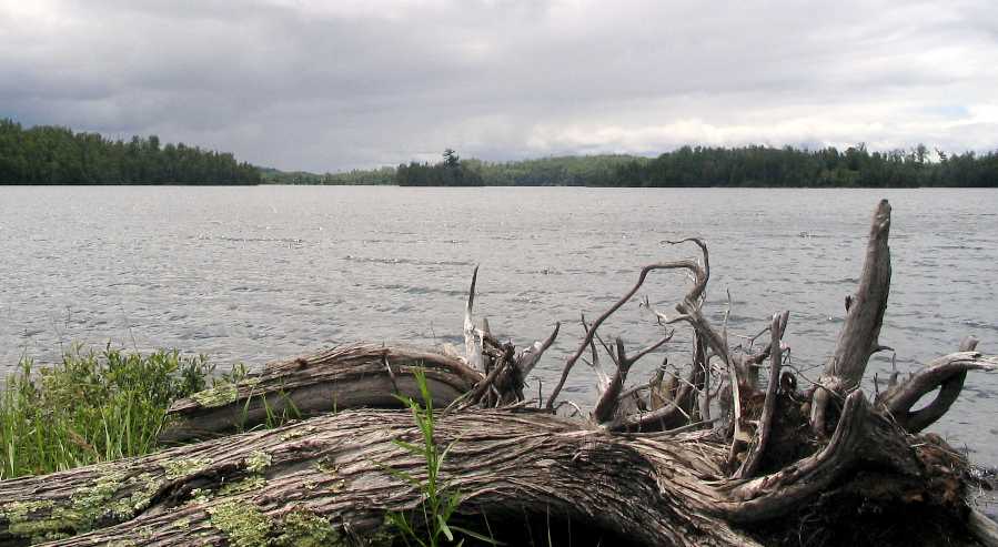
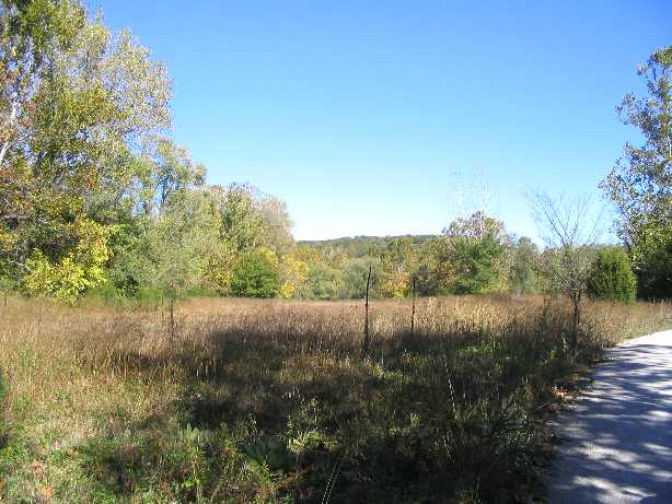
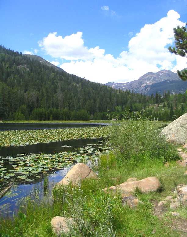
VIEW AT LUNCH
Once camp was made I had to use the grumper, which is what we called the toilet on the trip (you make your grumpy face on it). Our interpreter showed me a leaf that was better than toilet paper, which came in “twinkies”. He claimed that when wet, the somewhat hairy underside was just like a wet wipe. Yeah, right, I thought to myself. So off I went, twinkie in hand, down the trail to the grumper. It began to rain. It would rain lightly off and on the rest of the day. When I arrived at the grumper, a gray tube of plastic with a notional seat kind of molded on, I pulled down my pants. Apparently mosquitos find the flash of white attractive, and swarmed over my, well, you get the idea. As the week went on, I learned the trick was to get the pants down and the butt planted on the grumper as quickly as possible. Anyway, when I was done I was confronted with a choice – thin biodegradable TP in the rain, or leaves of some hopefully non-allergenic ground cover that were touted as wet-wipe like. I went with the leaves. They were better than biodegradable TP in the rain while sitting on a plastic tube in the middle of the wilderness, but you wouldn’t confuse it with a wet wipe in the dry climate controlled comfort of your own bathroom.
After a dinner of chili, we sumped the wastewater from washing the dishes near the grumper, and then we broke out the toothbrushes. The crew that brushes together, spits into the sump together. Hygiene – the tie that binds (some of) us together. Ah, the joys of backwoods camping and the closeness it brings.
The next morning I had to use the grumper again. Early the next morning. So I had to take the dishes off the “bear canoe” — all the pots and pans on top of a canoe over the food packs — to get to a twinkie. There wasn’t a tree big enough at the camp site to hoist the food packs up, so we set a trap for the bears instead. Our interpreter introduced us to this method, and told us if we heard the pots clanging in the night, we should rush out of the tents making as much noise as possible to scare the bear away. I figured with my earplugs I wouldn’t hear a thing so the boys would get the thrill of scaring a bear. As it turned out, whenever we made a bear canoe I had to take it down in the morning to get to a twinkie, afraid the whole time I would be set upon by screaming boys if I made too much noise.
Northern Tier requires that their crews use the “wet boot method”. Entering and leaving a canoe was to be done in calf deep water so that we didn’t bang the Kevlar, i.e. lightweight, canoes against the rocks. So before the trip one of the most common discussions was what kind of footwear to use for the wet boot. I went with Jungle Boots because I could buy a relatively inexpensive pair. I’m glad I did because the rigid sole really helped my toes. My son, however, went with a water shoe after we tried just about everything four different outdoor stores had to offer, and we saw it on sale at Kohl’s. After being submerged several times a day, the boots finally dried out a week after we were back home. My boots held up, but most of the other people who went with the jungle boots had the interior turn into a brown paste that pulled out with their socks. Yummy.
To go along with the wet boot method we used the two changes of clothes method. You had a complete set of wet clothes, and then you had a complete set of dry, or camp clothes, including footwear. I had two pairs of fast drying nylon pants. As it turned out, they dried so fast I wore the wet pants all day every day except one. The pants only had waist size, so they were too long, and to control the length I tightened the cords around the cuffs. No problem, until it came time to get in the canoe using foot-butt-foot method of getting in the canoe. The legs would fill up with water, and then when I got in the canoe the tight cuffs didn’t let the water out the bottom, which meant that when I swung my leg in with my butt on the seat all the water ran down into my cotton underwear. That’s better than coffee at waking you up first thing in the morning. Second and third thing, too.
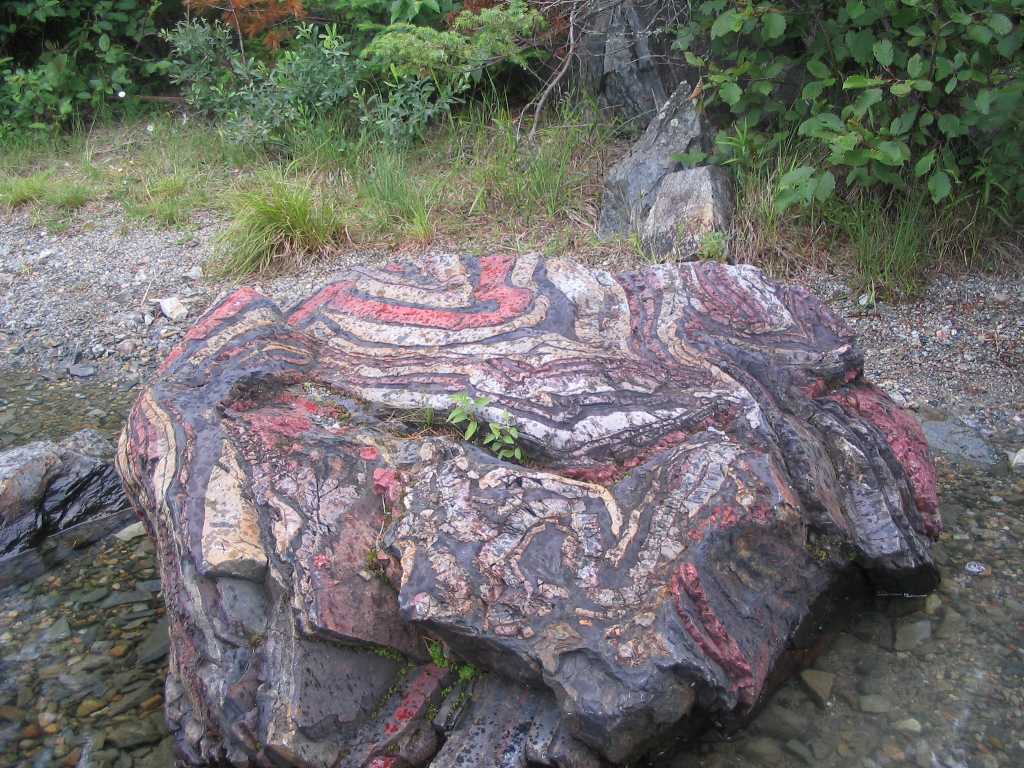
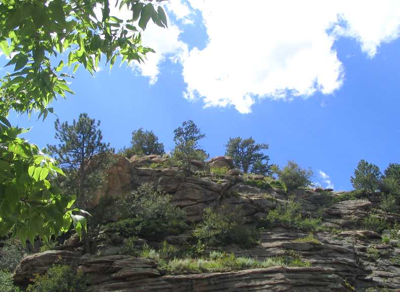
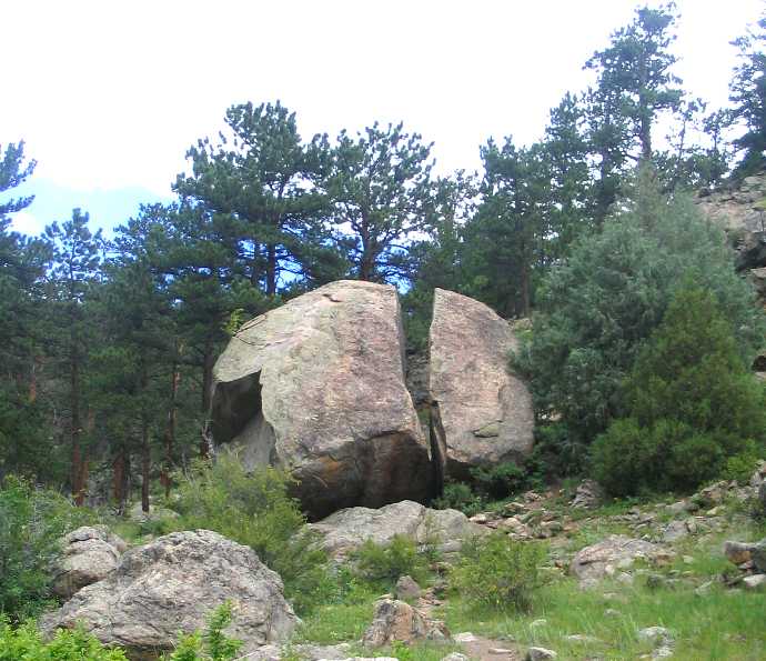
RAINBOW ROCK
Our second day on the water we had a whole series of portages to get to Knife Lake. As it turned out, we had lunch in Canada and the boys were far more delighted by the idea that they “peed on Canada” than they “ate in Canada”. When in the woods, do as the bears do.
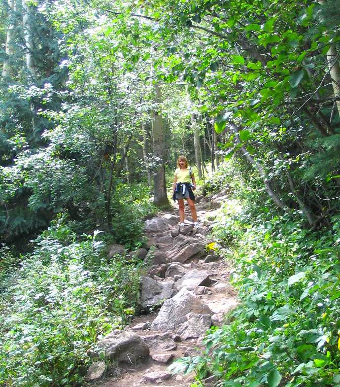
We hardly saw anyone on the trip, except on the portages which were comparatively crowded. The two days we portaged, my son and I had the interpreter in our canoe. So he carried his pack and the canoe, and we carried a pack each and the paddles. I’m guessing 60 lbs per pack, but it’s a guess. The other issue with the portages is that while there typically wasn’t a lot of elevation change, there were plenty of trail hazards in the form of puddles, mud, roots and rocks. Me and my toes were excited when we checked into our first motel on the way back and I could walk on nothing except flat, hazard free carpet. I had brought trekking poles borrowed from another scout leader thanks to the suggestion of a third scout leader and I put them to good use on the portage trails.
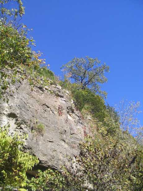
We were able to see a few sights this day like Dorothy Molder’s cabin, or at least a pile of shingles on the Isle of Pines where it once stood, and nearby rainbow rock whose picture doesn’t do it justice. It sits just off shore looking nothing like anything else around, and asks you the question, “what am I doing here?” No doubt some of us were wondering the exact same thing.
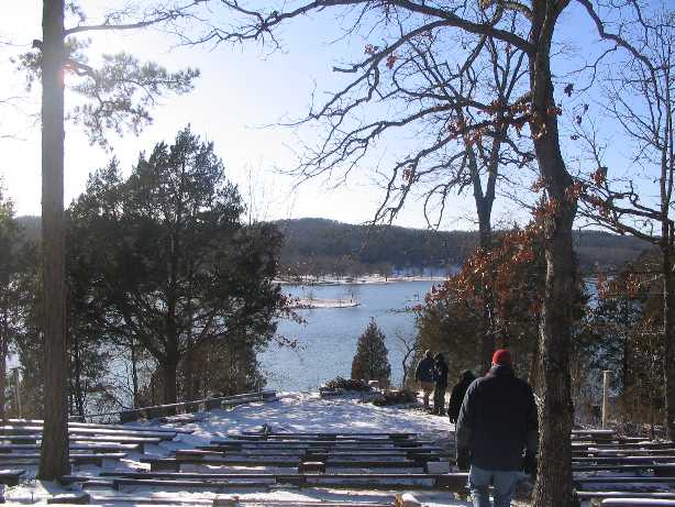
By now it had started to rain and we began to paddle eastward on the lake towards even more exciting destinations. After a couple of hours of a steady downpour, most of the crew had had enough and so we pulled over and camped at an empty site. In the American part of the Boundary Waters, you can only camp at designated sites, which are indicated on the map with a red dot and are determined by the presence of a fire grate. The sites are first come only served, so on crowded lakes there can be some competition to get one. As it turned out, one of our crews would paddle for miles looking for an empty site this day; we were fortunate enough to find an empty one without difficulty.
We made camp in the rain and the boys disappeared into their two tents. Scout leaders are made of stern stuff (or perhaps thickheaded stuff), so we stayed outside to work on dinner. Not only was it raining, it had gotten cold too. As in coldest winter of my life was summer in Northern Minnesota cold. And it was at this point we were cursing our interpreter for telling us during the gear shakedown (cue significant music again) not to bring our tarp as his would be sufficient, and at ourselves for believing him. He did rig up his tarp, the emergency blanket, and a poncho into a shelter a couple of feet off the ground. I and another leader didn’t want to crouch down so we stayed out in the rain in our raingear. We sliced up a bag of potatoes and had cottage fries for an appetizer while waiting for our pasta to boil. After a hot a filling dinner, the leaders disappeared into their tent and left the boys outside to clean up. I was so incredibly tired that day it was all I could do to retain consciousness until 8PM while talking with one of my tent mates.
I started every morning with my personal grooming time, i.e. running a comb through my hair, before putting my wet gear back on, swallowing a couple of ibuprofens, and then heading to the grumper. This morning was different because our interpreter wanted to stay in camp to dry his stuff out – his pack liner had a hole in it and with the steady rain the day before all of his stuff was soaked. So we decided that we would do a day trip this day – no gear in the canoes, down to Eddy Falls and back, and no interpreter either. This was the best day of the trip.
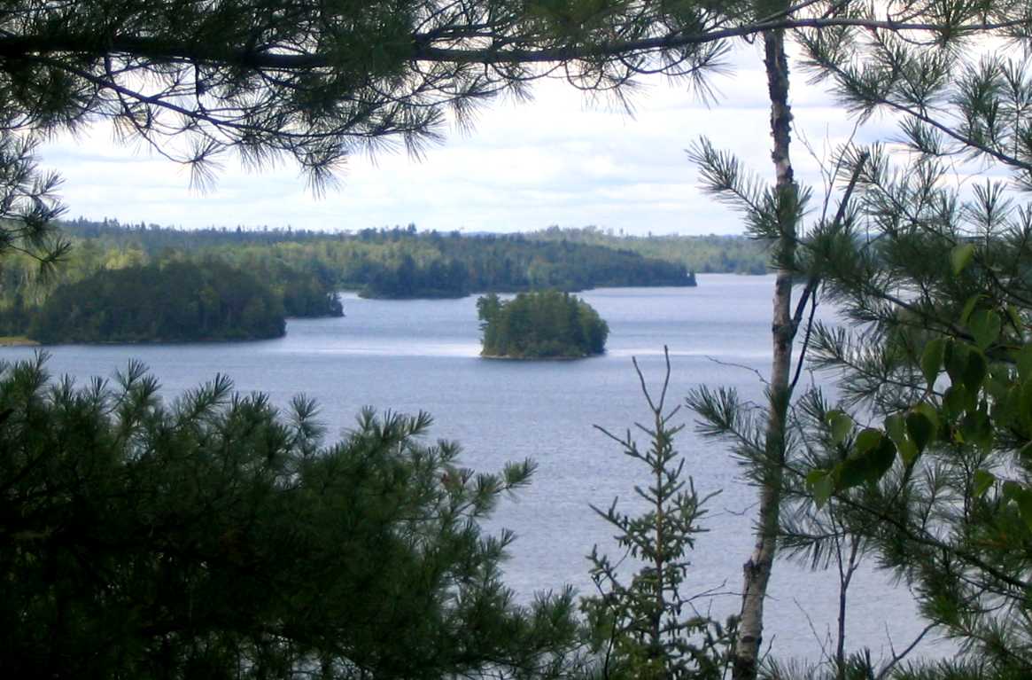
TWO SMALL ISLANDS ARE THE GATEWAY TO THUNDER POINT
We started out with light hears and lighter canoes. Today I was happy because we had the oldest scout in the canoe with my son and I so we weren’t troubled by the wind or the long day of paddling. Perhaps we consulted the map more frequently without our interpreter, but we soon saw the two small islands that were our first waypoint on the way to Thunder Point. Did I mention that it wasn’t raining? When we eventually passed the two islands, the lake widened way out with a North arm and a South Arm, and the wind really picked up, so the trip got pretty exciting. As we drew near to the foot of Thunder Point, we could see another crew coming around from the opposite direction and sure enough, it was one of ours.
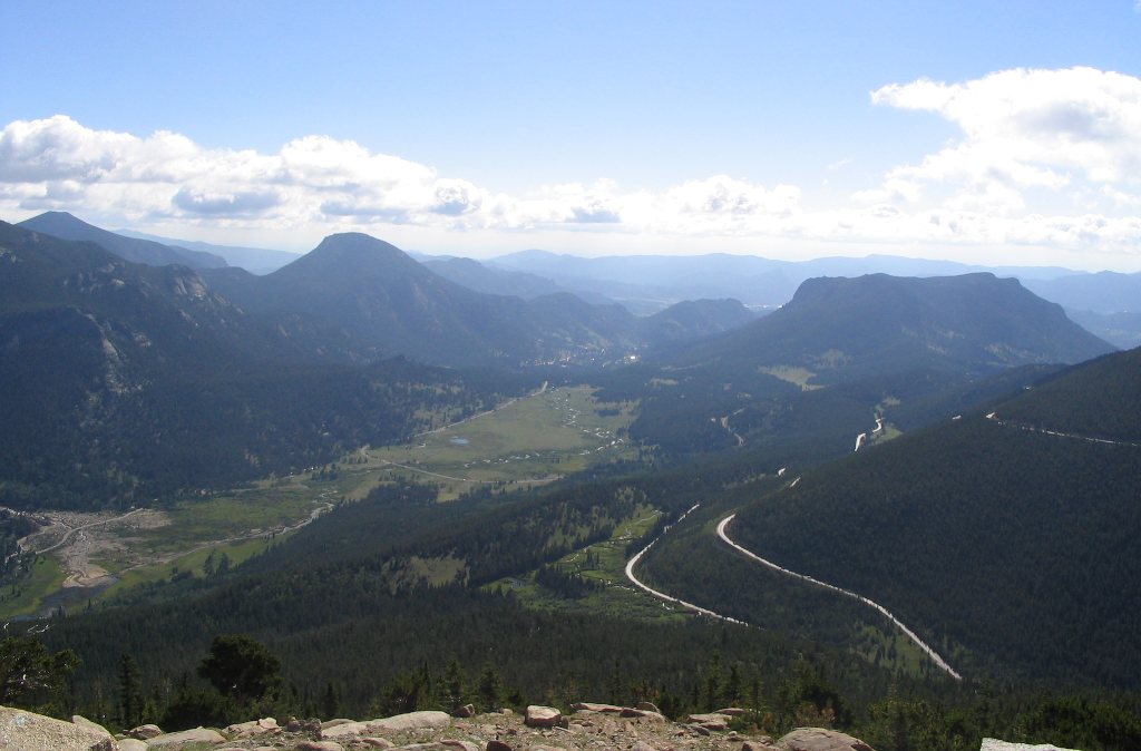
I’M ON TOP OF THE WORLD OR WHAT A VIEW
After catching up, the other crew’s interpreter was nervous about our being caught congregating. So we ate lunch by the canoes, and the other crew hiked to the top and ate. I added a couple of ibuprofen to my meal in preparation for the coming ordeal. Neither crew could find the trail to the top that our interpreter had talked about, so we both had to bushwack up and back down. The slope was very steep, covered in vegetation, and the footing was often loose stone. Over halfway up, the first leader called back down that it wasn’t a good idea for me to come all the way up — the footing was nothing but loose stone. I called back that the whole trip wasn’t a good idea but since I’d gotten this far I wasn’t going to turn around now. So I made it all the way up. We caught our breaths (some faster than others), enjoyed the view, and ate of the blueberries that grew rampant all over the top. We also looked for a path down without success.
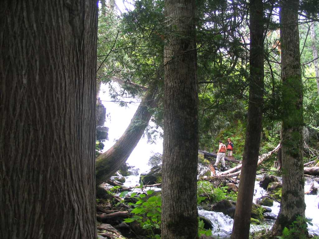
EDDY FALLS THROUGH THE TREES
Let me say the descent was worse than the ascent and leave it at that. Then it was back into our canoes and down the South Arm of Knife Lake on our way to Eddy Falls. This whole area was hard hit by a big blowdown in 1999 and wildfires subsequently but it was very noticeable on this part of the trip. This was probably our longest stretch of uninterrupted paddling but the weather was perfect for it. Fortunately the other crew described how to find Eddy falls or I’m not sure we would have without our interpreter. It was something like you come to a bay, then there’s a rock outcropping, then a stream, and then an area to put the canoes. We had a hard time finding the stream, but after a brief discussion we decided we were in the right spot. And the really nice thing was we were right!
So then it was a brief hike back into the woods along the stream, and you could hear the falls before you could see them. They are really pretty, with a big pool in front. My toes were bothering me and the footing wasn’t good, so I didn’t take full advantage of the falls.
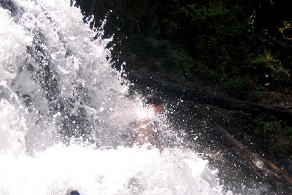
THE EDDY FALLS MASSAGE
Eddy Falls is a collection of small falls that adds up to one nice sized one. What everybody likes to do after a hard day of canoeing is to to stand or sit in the falls and let them provide a cool and refreshing massage. We spent a nice long time here having fun and getting massages, but all good things must come to an end so we hiked the short distance back to our canoes to return to our campsite. I have to say that when we got to the canoes my toes were hurting so badly that I felt like crying. A couple of more ibuprofen were downed and I offered up prayer for my deliverance.
When we had arrived, the wind was light and in our face. Now that we were ready to depart, the wind was strong and still in our face. I joked that I always knew the which way to go because we were always paddling into the wind.
As always there are delays when trying to get boys back into canoes, and this time was no different. Another Northern Tier crew came down from the falls and their interpreter asked us about our interpreter. We thought ours was going to be in trouble, but he just wanted to make sure we knew where we were going, and he advised us to hug the shoreline to try to mitigate the wind. As it turned out, I was in the lead canoe and we quickly determined that hugging the shoreline didn’t do a thing to mitigate the wind. So we went with the theory that a straight line would be the shortest distance. We paddled all the way back to camp with only one stop – I have to say that the upside of taking all that ibuprofen was that while my toes would still hurt my arms never got sore.
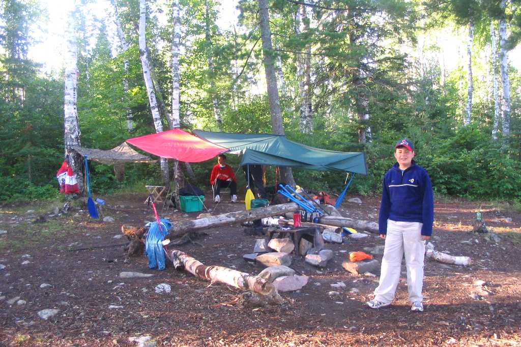
BE IT EVER SO HUMBLE, OUR KNIFE LAKE CAMPSITE
We were glad to get back to camp and not have to unload the canoes, set up camp, or cook dinner as our interpreter had that well in hand when we got back. This was our favorite day. Oh yeah, it didn’t rain either. By now we were pretty serious about foot care since we had spent several days with wet feet. Today at last we could change into our dry gear and stay dry, let our feet air out, and apply alcohol and Gold Bond powder to them. I also applied the Gold Bond to another area that had spent too much time wet with happy results. Despite my recommendation, neither of the other adult leaders followed my regimen.
We could hang a bear bag at this campsite, and it came in handy because of a giant rabbit (or hare as they like to call them up north) that would circle our camp repeatedly and a chipmunk (another crew called them mini-bears because they were always after the food). At first I thought how nice when the chipmunk kept me company on the grumper, but when I was finishing up my business and he disappeared down a hole close to the grumper it became clear he had ulterior motives. I couldn’t help myself, I had to look down the grumper and sure enough there he was looking back up at me. I quickly left him in peace as I didn’t want to know anymore than that – I didn’t even want to know that much.
MORNING ON KNIFE LAKE
The next morning was beautiful – a little light fog that quickly burned off. My toes were back to their normal throb and I could realistically think I would survive this trip. I had a new found appreciation for the comforts of civilization and the geniuses who invented things like shelter and heating – the person who invented the roof should have a holiday named after them. I understood in a way never before just why there are so few people in the wilderness and the heart of civilization is so crowded.
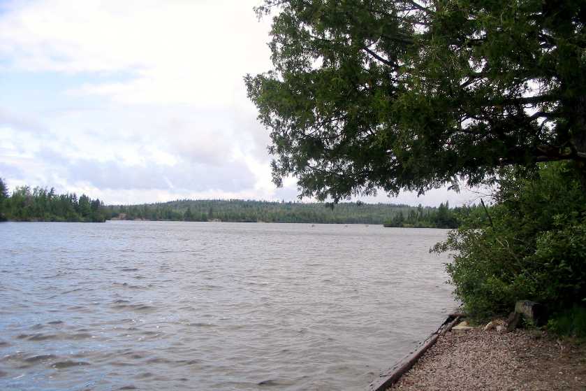
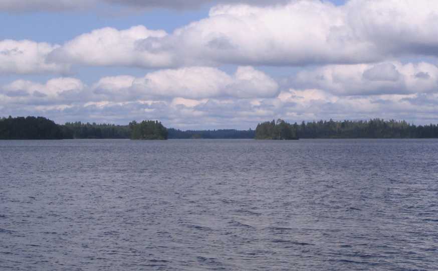
BIRCH LAKE FROM OUR CAMPSITE
My toes provided the excuse a non-overachieving crew needed. Instead of making a big loop via some long portages we simply retraced our steps for the most part. So today it was back down Knife Like, over the series of portages and onto Birch Lake. We talked about going a long distance this day so we could coast in the following, but our interpreter reminded us once off Birch we would be back on lakes that allowed motors. So we opted to camp on Birch so that we wouldn’t have hear all the noise. We were a mile away and behind forest from the nearest lake with motors, but we could still hear them in the silence of the Boundary Waters.
During the day we had a crazed chipmonk go after our food unlike any crazed chipmonk I’d ever seen before. There was no discouraging this guy and when we once again made our bear canoe we had to first put the food in a canoe to keep him out of it. We started out making a cake but wound up turning the frosting into pudding and skipping the cake part altogether. The boys went fishing in the canoes and the wind was still blowing strong enought they spent much more time paddling than fishing. We had a really nice campfire and in short just had a great time being boys.
The weather kept getting nicer. By the last day, I was actually warm and I got enough sun to give me a nice combination sun-wind burn. Instead of hoping to get through this as quickly as possible and just survive, I found myself enjoying the trip. Excercise, sunshine, good eats, plenty of scenery — only female companionship was lacking and unlike the first couple of days I actually had the energy to enjoy it. We were feeling frisky enough we didn’t take the shortcut portage to Sucker lake but went the long way around and saw the American-Canadian border actually marked.
But in too short a time we were back at base camp, our canoes hauled up and put away, our packs emptied and returned, a smile on our lips and a spring in our step. OK, and we showered. In hot water. Did I mention that whoever invented the hot shower should have an entire week named after them? Pure genius.
The next day we began the long drive back home and after another night on the road we got to sleep in our own beds. And they lived happily ever after. Did I mention that the people who invented the box spring and mattress, sheets and blankets should be more famous than Paris Hilton?